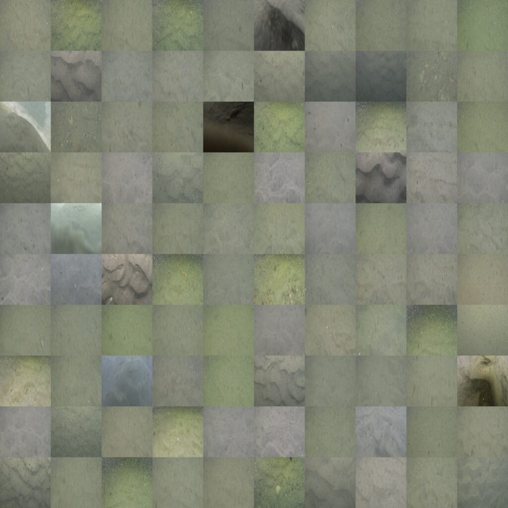
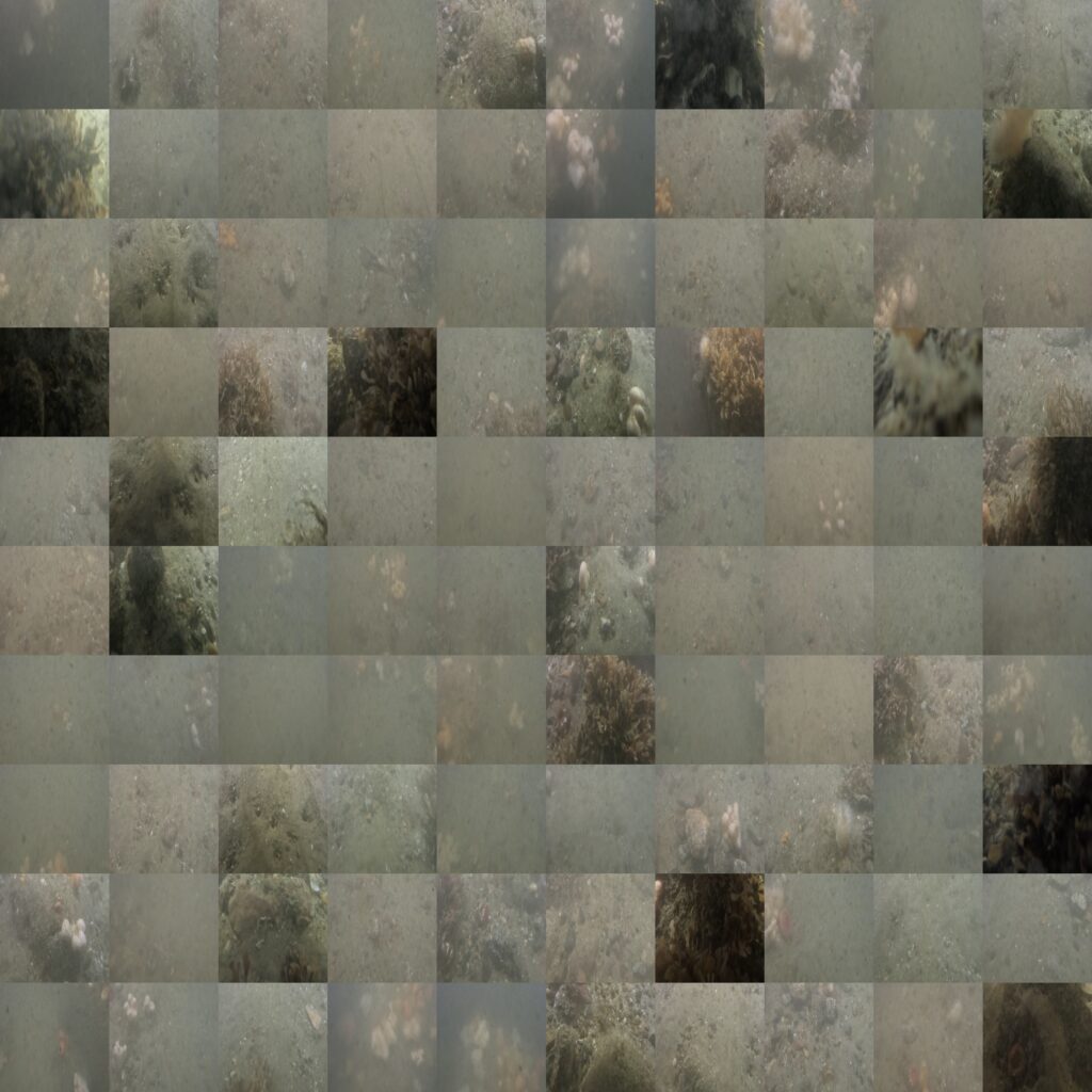
The JAMBO dataset contains benthic images captured by an ROV in temperate waters in the Jammer Bay area off the North West coast of Jutland, Denmark. All the images have been annotated by six annotators to contain one of three classes: sand, stone, or bad. The three classes are defined as:
- Sand habitats are characterized as primarily sand or muddy sand with less than 5% clay and less than 30% cover of stones/boulders, vegetation, and mussel bed.
- Stone reef habitats are characterized by having more than 30% seabed cover of stones and boulders.
- Bad is a class used to label images that cannot be confidently annotated as containing one of the aforementioned habitat types by the annotator due to poor image quality, turbidity, or similar.
Each of the six annotators have labelled all the images, which allows for analyzing how inter-annotator disagreement can affect the performance of machine learning models.
The mosaics below contain images captured on two different days and locations in the Jammer Bay; illustrating some of the variations present in the dataset.


Citation
@InProceedings{jambo_dataset,
  author="Humblot-Renaux, Galadrielle and Johansen, Anders Skaarup and Schmidt, Jonathan Eichild and Irlind, Amanda Frederikke and Madsen, Niels and Moeslund, Thomas B. and Pedersen, Malte",
  title="Underwater Uncertainty: A Multi-annotator Image Dataset for Benthic Habitat Classification",
  booktitle="Computer Vision -- ECCV 2024 Workshops",
  year="2025",
  publisher="Springer Nature Switzerland",
  address="Cham",
  pages="87--104",
  isbn="978-3-031-92387-6"
  doi="10.1007/978-3-031-92387-6_6"
}
